🧩Add these Geospatial Data Sources to your workflow - 2025

Often the hardest part of any location based project is the underlying data. Hunting down data sources can be challenging given paywalls, usage rights, documentation, metadata and so on.
Here are some great resources to add to your workflow for 2025:
OpenStreetMap Export
OpenSteetMap is a phenomenal resource both in it's quality and it's availability (free). On top of a robust API, did you know that you can export data directly from their website?
Read the full OpenStreetMap Export documentation:

USGS Earth Explorer
Searching for satellite imagery and don't know where to start? Don't forget to start at the source. USGS offers a wide array of historic and the latest remote sensing data (satellite and aerial).
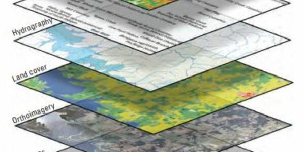
The National Map
Another fantastic resources offering many forms of data covering "topography, natural landscape, and built environment of the United States and its territories." This resource is made possible by the National Geospatial Program.
Overture Maps
With a goal of "powering current and next-generation map products by creating reliable, easy-to-use, and interoperable open map data.", Overture Maps has been making efforts to innovate location data architecture. Part of this effort has been the Overture Maps Explorer
Want Weekly Location News In your Inbox?