♻️ Intelligence Analysis & Earthquake Intensity Symbology

You’re back. We’re back. Let’s get into it.

TSA Implementing AI into Geospatial Systems 🩻
By including AI in it's transportation network workflows, the agency is seeking to better equip real time systems for better thread detection. Speaking this week at the Google GEO for Gov conference, the TSA CTO explained how the emerging AI tech is going to be used and implemented.
“Our approach is delivering the geospatial intelligence to understand the real-time, low-latency data to monitor transportation networks and respond to security threats in real time,” - Source
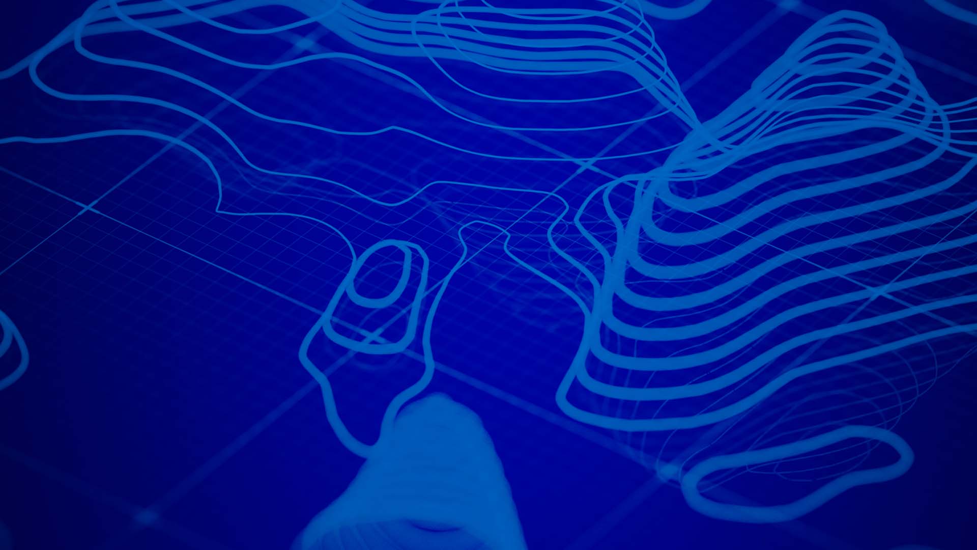
📌 Real Time Symbology with React.js
A short and sweet write-up on the added symbology functionality for the earthquake react.js app we started last week.

📡 "Multi-INT" Tutorial
An extensive and impressive deep dive into the world of intel workflows using several sources, tools, and methods. Regardless if you are in this field or are simply an ArcGIS user.
On the Playlist ✌️
It's sometimes hard to find a good flow state playlist on Spotify. While these songs will 100% ruin my algorithm (and my Spotify wrapped), I've been keeping this playlist on repeat this past week.
Remote Sensing Needs Your Help 🗾
This past week, Remote Sensing was the "article for improvement." Meaning that Wikipedia is looking to improve and build on the existing page.
It's important to remember that when people search for a topic, Wikipedia is often their first stop, so it is beneficial if the page looks high-quality and professional. If anyone is interested, I thought this could be a good week to promote fixing it up.
Source: reddit
If you have time or are a regular contributor on Wikipedia, consider giving the page some updates!
Tech Stuff 🪴
Absolutely captivated for the entirety of this video. The sheer creativity and capacity that went in to this project is nothing short of a labor of love.
Still enjoying Maptical?
Make sure you subscribe to get updates directly to your inbox each Friday!