☎️ Real Time Emergency Response, Open Source Vector Tiles

🦺 Real Time Emergency Response
In emergency response events, real time cooperation between multilevel agencies, groups and teams is critical, even lifesaving at times. The Search and Rescue Common Operating Platform (SARCOP) has been used to solve the growing need for real time data and coordination.

👾 Tutorial - Drone Mission planning & flightpaths
As drones continue to used in various geospatial applications, knowledge of the tools, resources and knowledge to use them has become just as valuable as the drones themselves.
Proper flight planning not only is required by the FAA for any commercial drone operations, but also ensures that the deliverables are on time and on budget.

🔍 Updates to OpenStreetMap - Vector Tiles
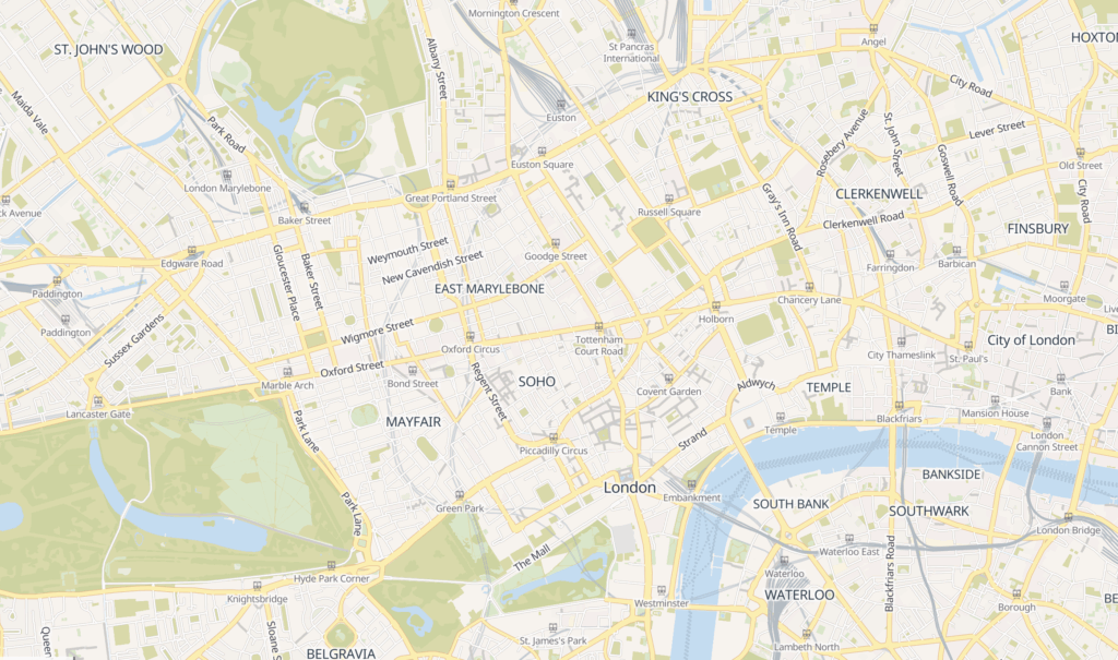
In a recent Blog post, OpenStreetMap announced the deployment of Vector Tiles. This gives users more usability and customization for their open source applications.

While growth and development of open source applications is generally welcome, there was some discussion online about the specifics of the features added when the Vector Tiles were announced but were still under development.

🪴 On the Playlist
Lord Huron is back with a new album, The Cosmic Selector Vol. 1.
Interested in grabbing the Essential Geospatial Resource Kit? Click below!


